Surveying in Civil Engineering – Mapping the Ground for Progress
What’s the first thing civil engineers do before starting any project—from roads to skyscrapers?
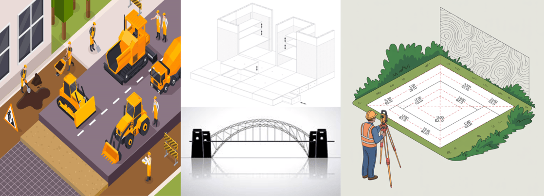
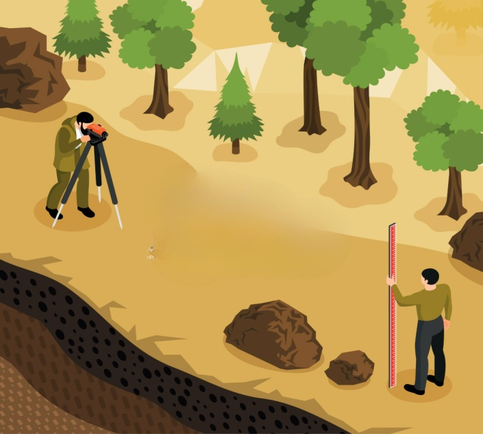
Before any road, bridge, or building is constructed, there’s one important step that happens first: surveying. It is the process of measuring land to determine distances, angles, elevations, and boundaries. It helps civil engineers understand the shape of the land and make accurate plans. Without proper surveying, construction projects can face serious errors, delays, and cost overruns.
Real-Life Examples
- Road Construction: Surveyors mark the exact route of a highway by calculating ground levels and slopes.
- Building Layout: Surveying is used to position the corners of buildings correctly on-site.
- Bridge Design: Engineers use GPS surveying to study riverbanks and determine where to place bridge piers.
- Land Division: Surveying helps divide plots of land for legal ownership and development.
Advantages of Surveying
- Accuracy: Helps in making exact drawings and layouts.
- Planning Support: Allows proper design by giving correct ground details.
- Safety: Reduces construction risks by detecting ground issues early.
- Legal Use: Provides official land boundaries for records.
- Versatile Tools: Devices like total stations and GPS provide faster and more precise data.
Disadvantages of Surveying
- Weather Dependent: Rain, fog, and wind can affect fieldwork.
- Cost of Equipment: Modern instruments like drones and laser scanners can be expensive.
- Needs Skilled Workers: Accurate surveying requires trained personnel.
- Data Errors: Mistakes in measurement or setup can cause big issues later in the project.
Core Surveying Components
Theodolite – Measures horizontal and vertical angles accurately.
Auto-Level – Used for levelling and height measurements.
Tripod – A three-legged stand that holds surveying instruments stable.
Levelling Staff – A graduated rod used with auto-levels to measure elevation differences.
Target with Prism – Reflects signals for distance measurement with total stations.
Range Pole – A long pole used to mount the prism or mark positions.
Tribrach – A device that helps mount instruments precisely over a point.
Application Areas in Civil Engineering
- Town Planning: Mapping cities and zoning land for public use.
- Dams and Reservoirs: Studying valleys and water flow for proper dam location.
- Railways: Planning track alignments with minimal curves and slopes.
- Tunnels: Measuring underground pathways using advanced survey methods.
- Irrigation Projects: Designing canals and water routes based on land gradients.
Emerging Trends and Future Scope
- Drone Surveying: Captures large areas quickly with high-resolution images.
- LiDAR Technology: Uses laser to create 3D models of land and structures.
- GIS (Geographic Information Systems): Links land data with maps for better analysis.
- Mobile Mapping Systems: Vehicles with cameras and sensors collect survey data while moving.
- Cloud Storage and AI: Makes data sharing and error detection faster and smarter.
Conclusion
Surveying is the first step in turning an empty piece of land into something useful. From laying out roads to planning cities, it ensures projects are built in the right place, with the right shape, and on a strong foundation. With new tools like GPS, drones, and GIS, the future of surveying is faster, smarter, and more accurate. Whether you're a student or a site engineer, mastering surveying means mastering the ground beneath your feet.